
Canyon Meadows
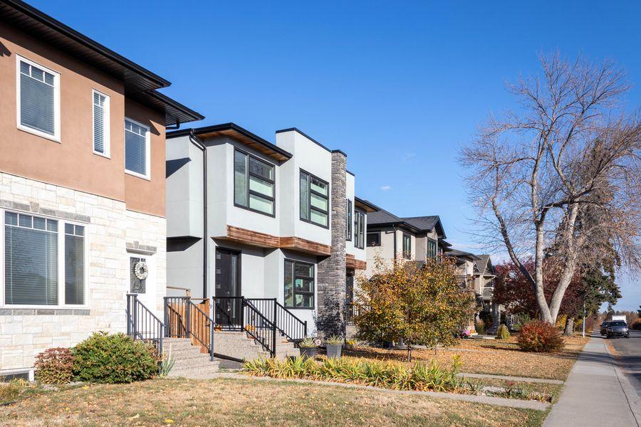
SW · The park runs along the south edgeAn established 1960s–70s community on the bluffs above Fish Creek Park, with CTrain along Macleod Trail.
Fish Creek is the south end's backyard — 19 km of river valley and more than 100 km of trails running right through the neighbourhoods. These are the communities that touch it, and what's for sale in each right now.
An established 1960s–70s community on the bluffs above Fish Creek Park, with CTrain along Macleod Trail.
A mature southwest community on the edge of Fish Creek Provincial Park.
A large southwest community on the edge of Fish Creek Provincial Park.
Calgary’s original lake community, built from 1968 around a 52-acre lake south of Anderson Road.
A 1970s neighbourhood on the edge of Fish Creek Provincial Park, with its own residents’ park.
A late-1970s community between Bow Bottom Trail and the Bow River escarpment, with Fish Creek Park to the east.
A late-1970s community in a bend of the Bow River, bordered on two sides by Fish Creek Park.
An established 1970s neighbourhood above the Bow River, with Fish Creek Park along its east side.
A lake community wrapped by Fish Creek Provincial Park, built around the 30-acre Lake Midnapore.
An established lake community beside Fish Creek Provincial Park.
An established community between Fish Creek Park and Deerfoot Trail.
On the east bank of the Bow River, with a public golf course and bridges across to Fish Creek Park.
Ridge views over Fish Creek and the Bow River, with Century Hall at its centre.
Also bordering the park, without their own guide here yet: Woodlands (SW), Shawnee Slopes (SW), Wolf Willow (SE).
On the south side of the city: Canyon Meadows, Woodbine, Woodlands, Shawnee Slopes and Evergreen in the southwest; and Lake Bonavista, Parkland, Deer Ridge, Deer Run, Queensland, Midnapore, Sundance, McKenzie Lake, Douglasdale/Glen (across the Bow River), Cranston and Wolf Willow in the southeast.
About 1,348 hectares, stretching roughly 19 km from the Tsuut’ina Nation boundary in the west to the Bow River in the east. The Government of Alberta describes it as the second-largest urban protected area in Canada, with more than 100 km of trails.
Often, because it offers something that can’t be built next door. But “backing onto the park” covers everything from a ravine view to a busy pathway behind the fence, and escarpment lots can carry slope and drainage questions. It’s worth comparing sales of park-backing and non-park homes on the same street before deciding what the premium is worth.
Tell me which side of the park suits your commute and budget, and I'll send what comes up first.
Live counts are active MLS® listings, refreshed hourly (asking prices). Park facts compiled September 2026 from: Alberta Parks — Fish Creek Provincial Park · Government of Alberta — Fish Creek Provincial Park trails · Wikipedia — Fish Creek Provincial Park · Alberta Parks — Bow Valley Ranch visitor centre · Discover Airdrie — Sikome Aquatic Facility reopens after $6M in upgrades. Community boundaries per each community's profile. Data is supplied by Pillar 9™ MLS® System. Pillar 9™ is the owner of the copyright in its MLS® System. Data is deemed reliable but is not guaranteed accurate by Pillar 9™